Original Research
Published on 19 Nov 2021
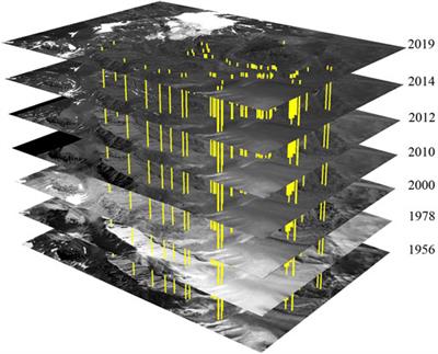
Combination of Aerial, Satellite, and UAV Photogrammetry for Quantifying Rock Glacier Kinematics in the Dry Andes of Chile (30°S) Since the 1950s
in Agro-Environmental Remote Sensing
Frontiers in Remote Sensing
doi 10.3389/frsen.2021.784015
- 14,045 views
- 41 citations